
Visual Access for Complex Projects
Not every inspection or documentation challenge can be solved with a standard approach.
WCDO combines drone technology with remote and ground-based imaging to capture areas that may be difficult, inefficient or disruptive to access conventionally. We work with clients to understand what needs to be seen, determine an appropriate capture approach and deliver organized visual information their teams can use.
Our capabilities support construction teams, infrastructure and utility operators, environmental projects, facilities and organizations facing specialized visual-access challenges.
Specialized Inspection Services
Construction Documentation
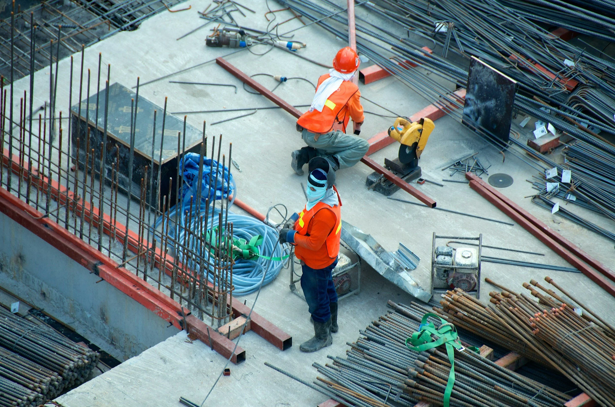
Maintain a consistent visual record of your project from early site work through completion.
WCDO can provide recurring aerial and ground-based capture to support:
Construction progress documentation
Repeatable project viewpoints
Site-condition documentation
Owner and stakeholder updates
Project archives
Marketing and milestone imagery
High-resolution photo and video capture
Recurring programs can be structured around the cadence of your project, including monthly, biweekly or customized capture schedules.
Infrastructure + Utilities
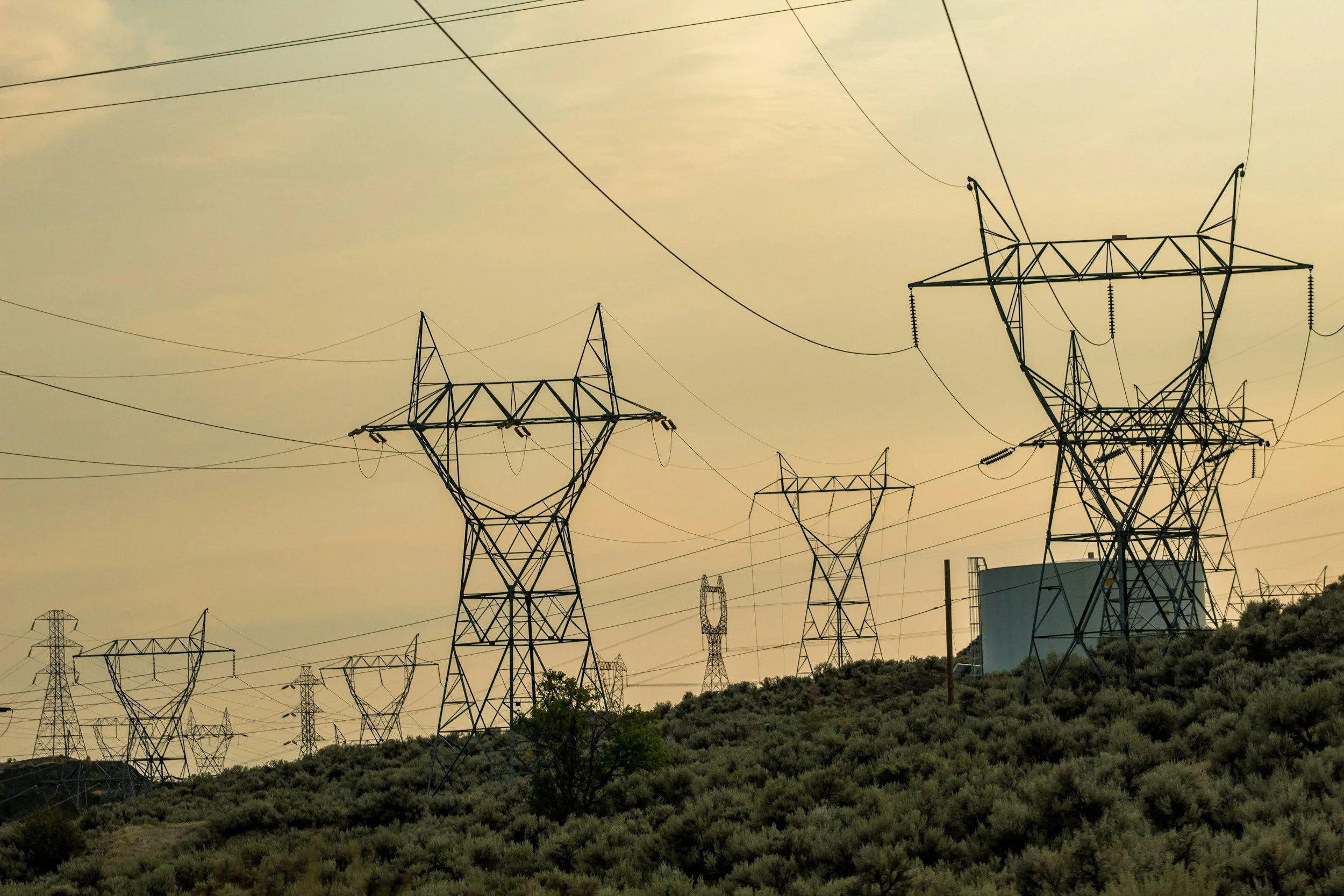
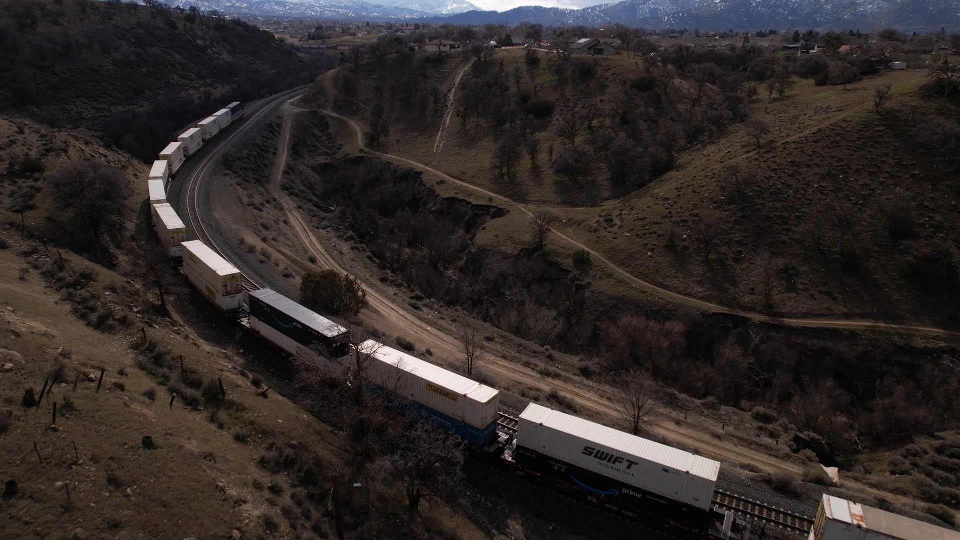
Gain visual access to assets and environments where conventional access may be difficult, time-consuming or disruptive.
Depending on project requirements, WCDO can support visual documentation of:
Utility and industrial infrastructure
Hard-to-access components
Buildings and rooftops
Linear infrastructure
Site and asset conditions
Maintenance documentation
Thermal-imaging applications
Specialized remote-imaging challenges
We work with client teams to determine the appropriate platform, perspective and deliverable for the task.
Specialized Remote Imaging
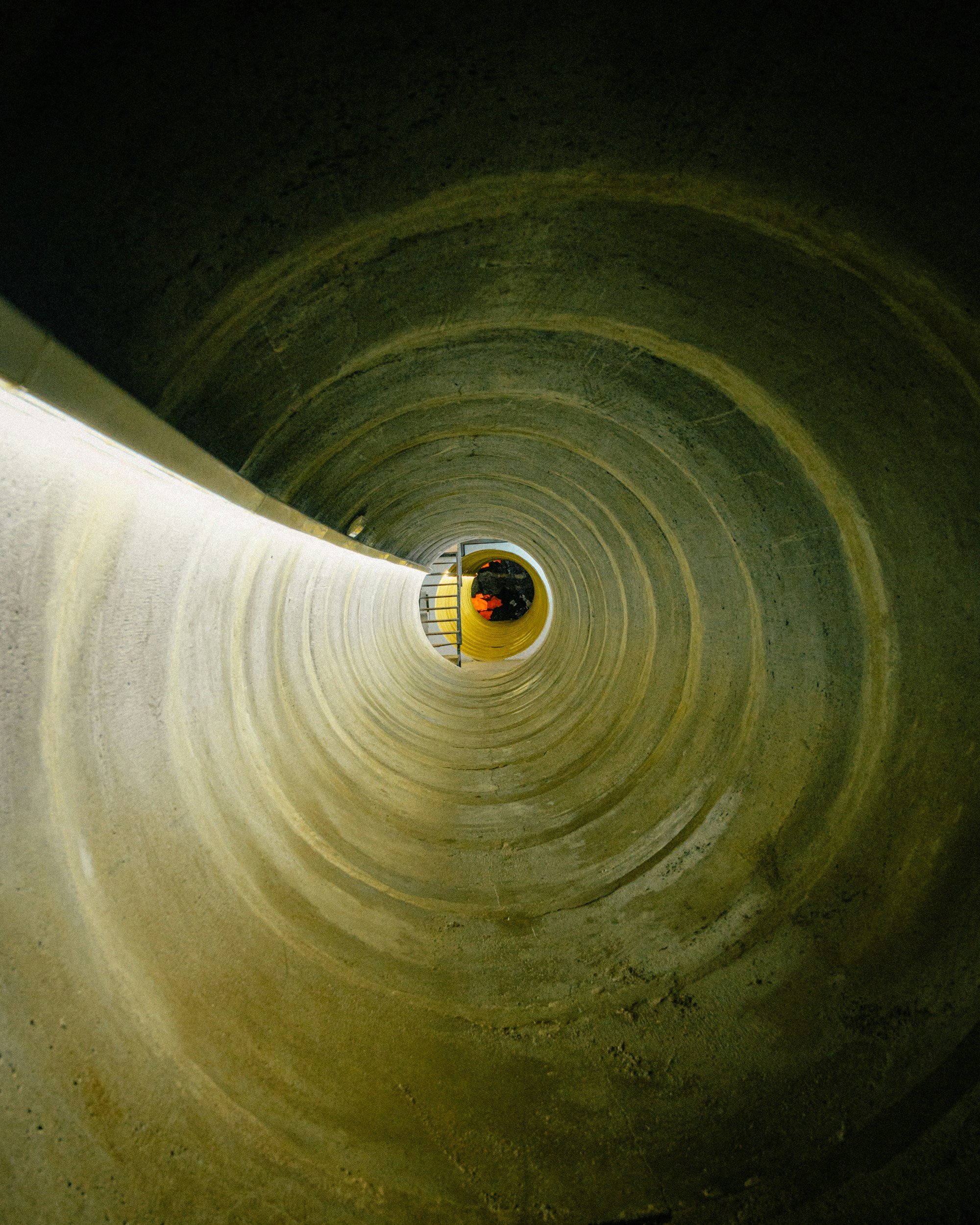
Sometimes the challenge isn't simply getting a drone in the air.
WCDO approaches unusual visual-access problems with a solution-first mindset. When conventional capture methods aren't practical, we can evaluate aerial, remote and ground-based approaches to determine how best to obtain the imagery or visual information your team needs.
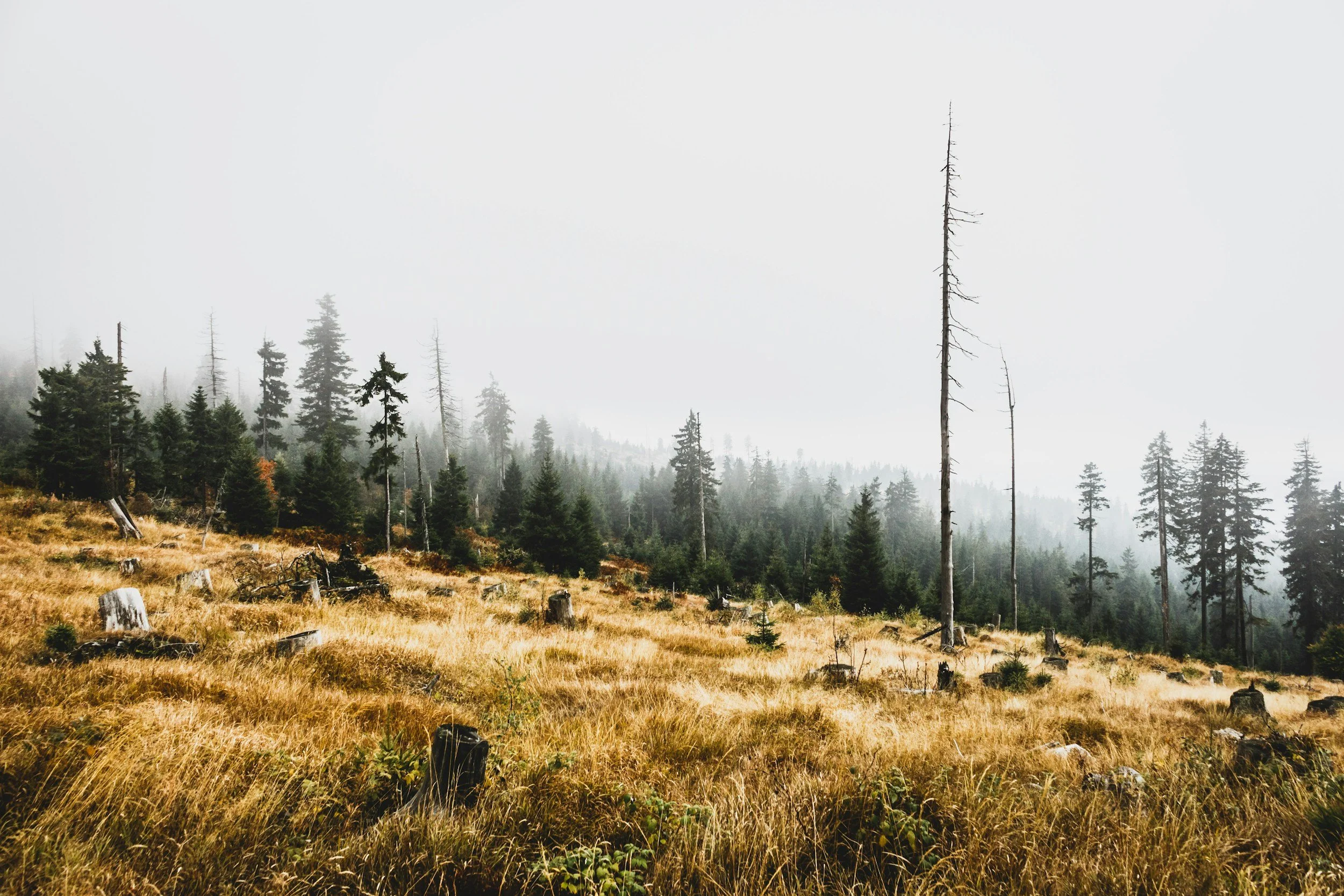
Environmental + Damage Documentation
Aerial and remote imaging can provide valuable perspective when documenting changing environments, large areas or post-event conditions.
WCDO capabilities can support:
Environmental monitoring and documentation
Habitat and restoration projects
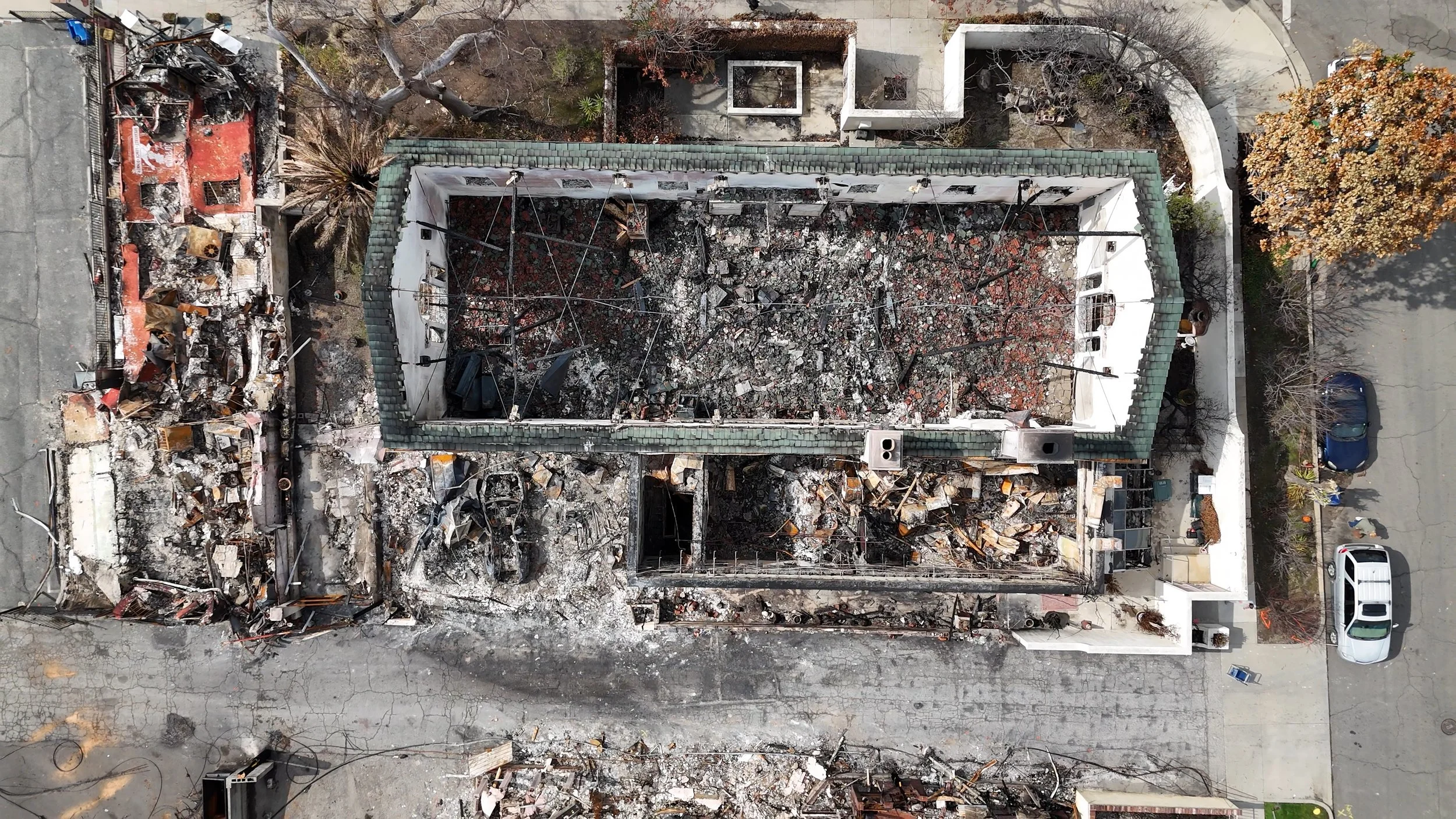
Wildfire and post-event documentation
Property and infrastructure damage documentation
Erosion and site-condition monitoring
Thermal and specialized imaging applications
Project requirements vary considerably, so capture plans and deliverables are developed around each client's objectives.
A Flexible Approach to Visual Access
The right perspective depends on the problem. We combine aerial, remote and ground-based imaging to reach difficult spaces, capture critical details and build a more complete visual record.
-
Professional drone operations provide rapid perspective across sites, structures and hard-to-access areas.
-
Specialized camera and imaging approaches can provide visual access where conventional observation may be difficult or impractical.
-
Ground-based capture complements aerial imagery when projects require closer perspectives, complete documentation or multiple viewpoints.
Rather than forcing every project into the same workflow, WCDO selects the approach, or combination of approaches, that best supports the objective.
Deliverables Built Around the Work
The right deliverable depends on what your team needs to accomplish.
Available deliverables may include:
High-resolution still photography
4K video
Organized visual documentation
Repeatable aerial viewpoints
Geo-referenced imagery
Thermal imagery
Progress archives
Client-ready visual assets
Custom capture and documentation packages
If your project requires something outside a standard package, talk to us. Specialized problems are often where we're most useful.
Bring Us the Difficult Problem
Whether you need recurring construction documentation, visual access to a challenging asset or a custom approach that doesn't fit neatly into a standard service category, we'd like to hear about it.
Tell us what you're trying to see, document or understand. We'll help determine an appropriate approach.