

AERIAL INTELLIGENCE FOR COMPLEX PROJECTS
Inspection, site documentation and visual production for construction, infrastructure and commercial teams throughout California and beyond.
FAA PART-107
CERTIFIED PILOTS

$2M+
INSURED
CONTROLLED AIRSPACE
MULTI-SITE CAPABILITY
PROVE THE PROGRESS. TELL THE STORY.
Pick the service that fits your project.
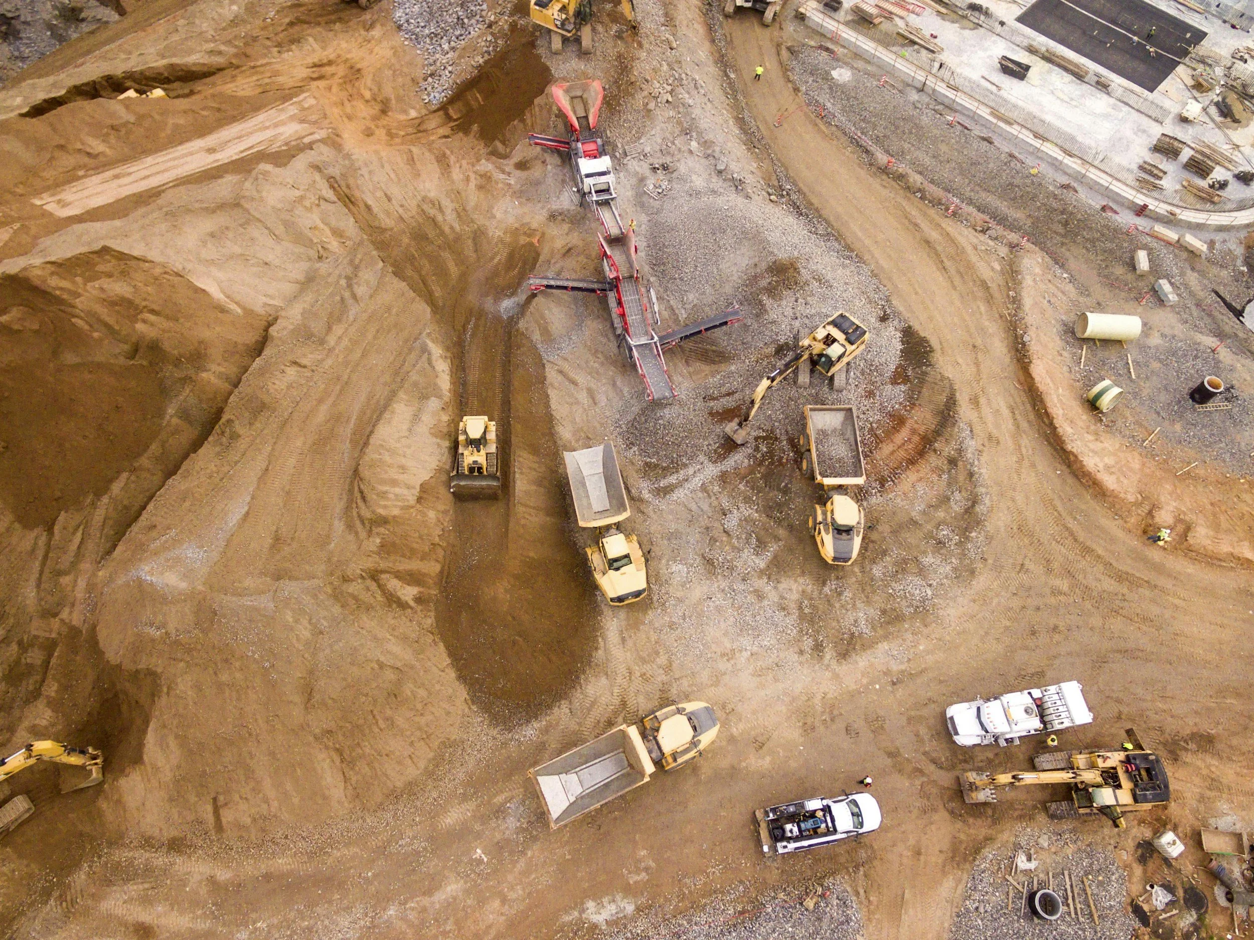
01 / TECHNICAL INTELLIGENCE
BUILD.
See the whole picture.
Aerial inspections, progress documentation and visual intelligence to help teams monitor assets, track change and make informed decisions.
CONSTRUCTION • INFRASTRUCTURE • UTILITIES • ENVIRONMENTAL • DAMAGE ASSESSMENT
EXPLORE BUILD →
02 / CREATIVE PRODUCTION
BRAND.
Show the world what you’re building.
Cinematic aerial imagery and full-service production for brand storytelling, project updates, stakeholder communication, television and commercial content.
CONSTRUCTION • CORPORATE • FILM & TV • COMMERCIAL • BRANDED CONTENT
EXPLORE BRAND →
Southern California’s Trusted Aerial Intelligence + Inspection Partner
High-precision aerial data meets broadcast-quality visual execution. We provide engineers, asset managers and developers with compliance-ready site inspection reports alongside executive-level visual assets.
Why Choose Us
Most drone providers only do one thing well: they gather raw inspection data, or they take basic video shots. We bridge both disciplines in single flight deployment across Southern California and beyond.
Technical Data Integrity: High-resolution thermal imagery, orthomosaic mapping, and detailed reporting formatted for your engineering and risk-management teams.
Production-Trained Discipline: Backed by real film and TV set experience, we bring disciplined workflows, dynamic framing and seamless communication to high-stakes environments for visuals that asset managers, stakeholders and marketing teams can actually use.
Streamlined Site Operations: Reduce site disruption, vendor coordination and flight authorization lead times by executing both scopes in one efficient operation.
Our
Vision
See what others can’t. Show what matters.
At West Coast Drone Operations, we believe the best technology is the technology that solves the problem.
We combine aerial, remote and ground-based imaging to give our clients access to perspectives that may otherwise be difficult, inefficient or impractical to capture. Whether documenting a complex asset, monitoring a project over time or creating compelling visual content, we build the approach around what the project actually requires.
Our vision is to be more than a drone service provider. We aim to be a trusted visual partner clients call when they need a better way to see, document or communicate what matters, from complex access challenges to ambitious visual stories.

Trusted By








FAQs
-
Yes. All West Coast Drone Operations flights are executed by FAA Part 107 certified remote pilots holding comprehensive commercial liability insurance. Our team manages complete site safety, pre-flight risk assessments, and regulatory compliance across commercial, industrial, and high-access environments.
-
We recommend booking at least 1–2 weeks in advance, especially for multi-day shoots or recurring monitoring.
That said, we maintain rapid-response capabilities and frequently accommodate urgent projects or emergency damage assessments.
(Please note: Complex Airspace Authorizations in controlled airspaces can take up to 60 days to process with the FAA).
-
Yes. We handle all airspace authorizations and flight planning on your behalf. For controlled airspaces across Southern California (such as near Long Beach Airport or LAX), we secure approvals via LAANC (Low Altitude Authorization and Notification Capability) or coordinate directly with the FAA for required waivers.
-
We fly a versatile fleet of professional-grade drones tailored to your project's specific technical requirements, from high-resolution thermal sensors to compact inspection platforms. In addition to our aerial capabilities, we deploy ground-based camera systems, stabilized handheld gimbals, and terrestrial capture equipment to deliver complete, 360-degree coverage of site interiors, low-clearance areas, and ground-level progress. For specialized missions, we coordinate advanced payloads including radiometric thermal imaging, multispectral sensors, LiDAR, and high-resolution RGB camera systems.
-
Yes. Complete site documentation often requires a combination of air and ground perspectives. We provide integrated ground photography, interior site walkthroughs, handheld stabilized video, and time-lapse setups to ensure total project coverage alongside aerial mapping.
-
Both! We deliver unedited high-resolution raw files (ProRes, RAW, 4K/60fps video, or geo-referenced RAW stills) for internal teams, or complete turnkey post-production solutions, including color grading, video editing, orthomosaic mapping, and 3D modeling.
-
We provide enterprise-ready data formats designed to integrate directly into CAD and GIS workflows:
GIS & Mapping: High-resolution orthomosaic TIFs, geo-referenced elevation models (DEM/DSM), and CAD-compatible point clouds (.LAS/.LAZ).
Inspections: Radiometric thermal imagery, 3D mesh models (.OBJ), and visual defect reporting for building envelopes, roofs, and facades.
Progress Tracking: Repeatable timeline progress capture and side-by-side site comparison overlays.
-
Pricing is tailored to project scope, flight time, deliverable requirements, and location:
Hourly and Day Rates: Ideal for media shoots, single-site inspections, or emergency damage assessments.
Flat-Rate & Recurring Packages: Cost-effective flat rates for scheduled weekly, bi-weekly, or monthly construction progress monitoring.
Volume Discounts: Customized enterprise pricing for ongoing industrial monitoring or multi-site contracts.
-
Absolutely. We regularly collaborate with directors, DPs, producers, and marketing agencies to capture cinematic aerial sequences. We seamlessly integrate into active production sets while strictly enforcing site safety protocols.
-
Yes. While our primary operations are based in the LA/Orange County/Long Beach area, we execute projects across California and partner with trusted licensed operators nationwide for large-scale deployments.
-
Simple.
📅 Book a free strategy call via our contact page
📧 Email us at info@westcoastdroneops.com. Tell us about your project and we’ll take it from there.
Request a Site Feasibility + Scope Estimate
Tell us about your project location, target timeline and deliverable needs. Whether you require technical inspection reports, broadcast-quality video production, or a combined dual deployment, our FAA-certified team will review airspace clearance and provide a tailored proposal.