
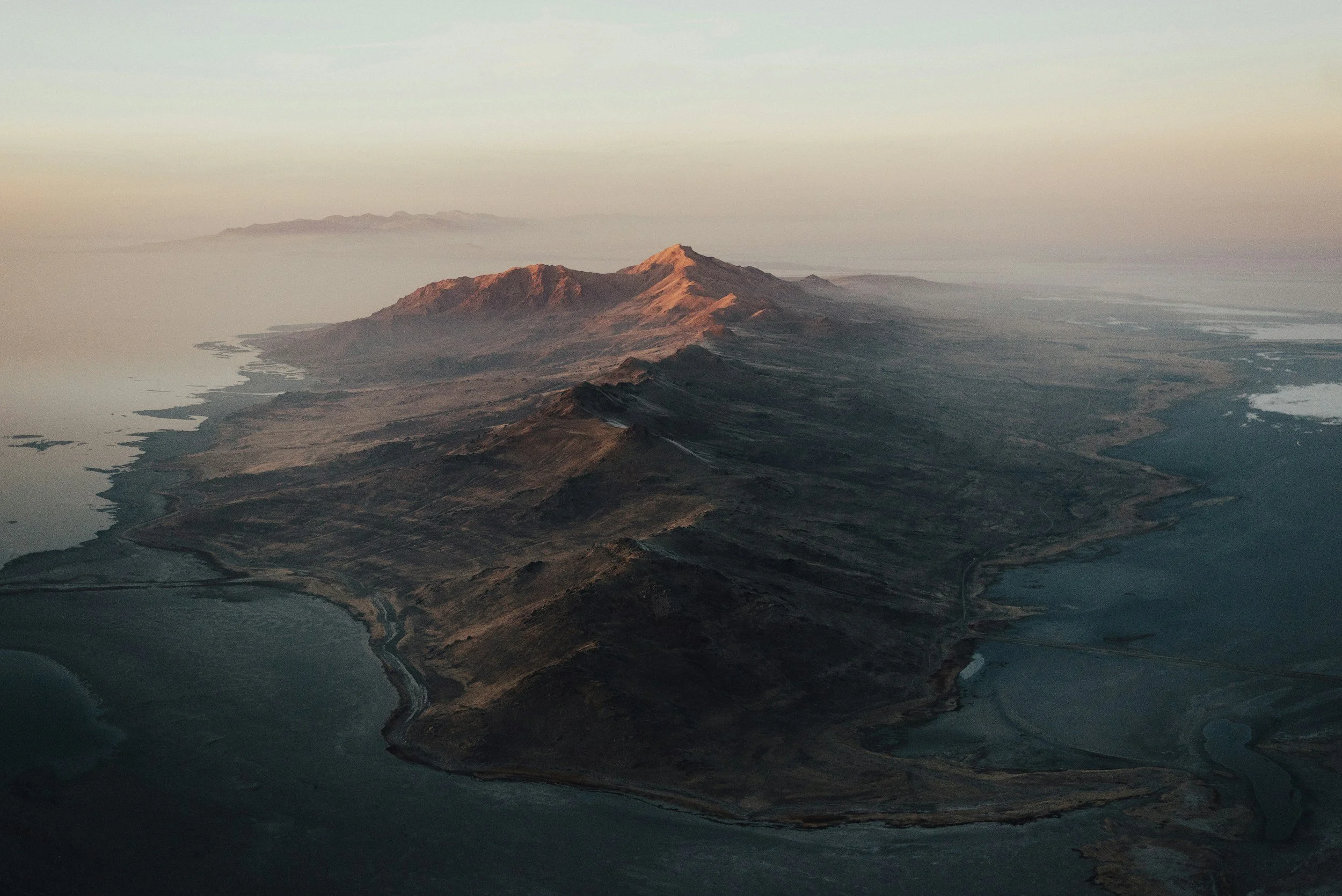
WHO WE ARE
Built for the view others can’t get.
West Coast Drone Operations is a Long Beach-based visual imaging and aerial intelligence company specializing in drone mapping, thermal inspection, reality capture, and high-end aerial and ground-based capture.
We combine professional flight operations with decades of visual storytelling experience to deliver imagery and data designed to be useful, not simply impressive.
Leadership
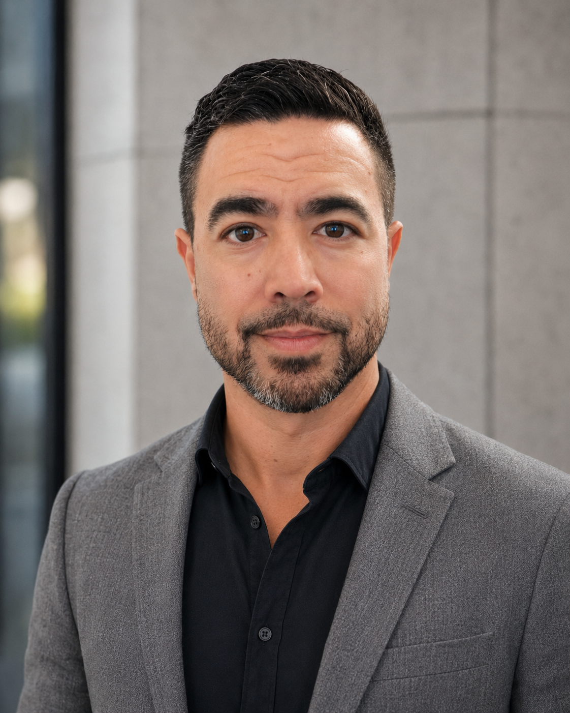
Ethan Pisz
Co-Founder · Chief Pilot, Director of Photography
Ethan is an FAA Part 107-certified remote pilot and Director of Photography with extensive experience across television, documentary, and commercial production. He has operated on set and in the field for major networks and global brands including National Geographic, ABC, Discovery, Meta, and Honda, earning a reputation for his calm presence, technical precision, and creative instincts.
Experienced in navigating complex Class D controlled airspaces across Los Angeles and Orange County—including flight authorizations near Long Beach Airport and LAX—Ethan enforces rigorous site-safety protocols for active industrial, high-access, and commercial environments. With hundreds of logged flight hours, specialized expertise in thermal and high-resolution spatial capture, and a deep understanding of visual storytelling, Ethan leads all aerial and ground operations for WCDO to deliver production-ready, mission-critical assets.
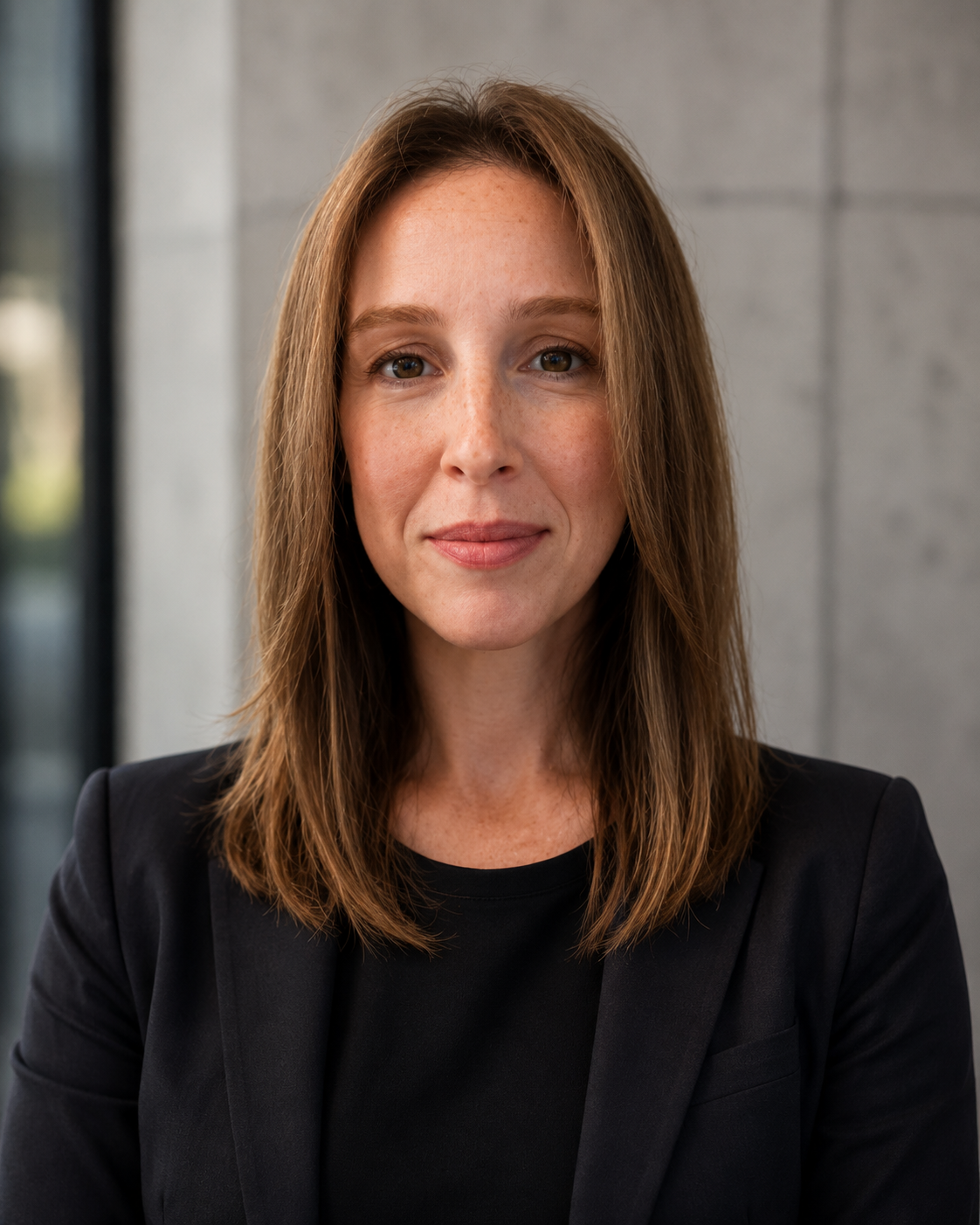
Jennifer Pisz
Co-Founder · Strategy & Development
Jennifer brings decades of executive media and communications experience to WCDO, with a career spanning CBS Los Angeles, Warner Bros., and high-impact global initiatives in partnership with organizations like UNICEF and the Obama Foundation.
A mission-driven leader, Jennifer has spearheaded production and communications teams across 18 countries, executing cross-sector campaigns and crafting messaging that drives real-world impact. She leads strategic partnerships, client alignment, and campaign development for WCDO, ensuring that complex aerial data, spatial mapping, and visual deliverables directly support our clients' operational and strategic goals.
The Right Capture Starts With the Question
We don't approach every project with the same aircraft, sensor or deliverable. We start with what the client needs to understand, document or communicate; then we determine the right way to capture it.
That may mean recurring aerial documentation across a construction site, thermal imagery of an asset, remote inspection of a difficult-to-access environment, or finished visual content for a campaign. The technology changes. The objective comes first.
Trusted By








Start Your Next Project
Need an airspace feasibility review or a custom scope estimate for your site?
Get in Touch
Have a general question, media inquiry or interest in collaborating? Drop us a message here.