

Environmental Damage + Documentation
Document conditions. Monitor change. See the bigger picture.
West Coast Drone Operations provides aerial, remote and ground-based imaging for environmental projects, property and infrastructure damage, restoration efforts and changing site conditions across California and beyond.
From establishing baseline conditions to documenting change over time, we build visual capture programs around the needs of each project, providing clear, organized imagery from perspectives that can be difficult to achieve from the ground alone.
A Clear Visual Record of Changing Conditions
Environmental conditions and physical damage can be difficult to understand from a single perspective.
Aerial imagery provides valuable context across larger areas, while ground-based and remote capture can document details that require a closer view.
WCDO can combine these perspectives to create a more complete visual record of a site, helping project teams document existing conditions, monitor visible change and communicate what is happening over time.
Environmental Monitoring + Documentation
Consistent imagery can help organizations establish baseline conditions and create a visual record as landscapes, habitats and project sites change.
WCDO can support visual documentation for:
Habitat and restoration projects
Wetlands and waterways
Vegetation and landscape conditions
Coastal and erosion monitoring
Environmental project sites
Conservation initiatives
Before-and-after documentation
Recurring site monitoring
Large or difficult-to-access areas
Capture programs can be structured as one-time documentation or recurring visits using consistent viewpoints to make visual comparison easier over time.
Damage + Post-Event Documentation
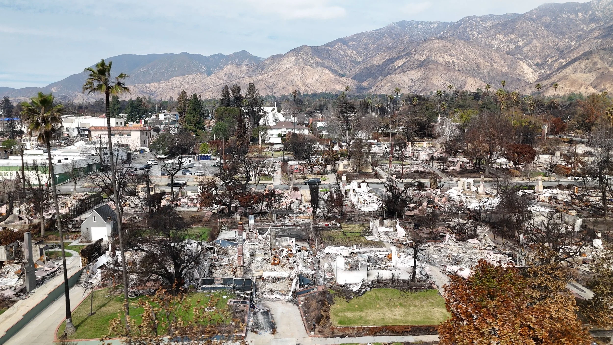
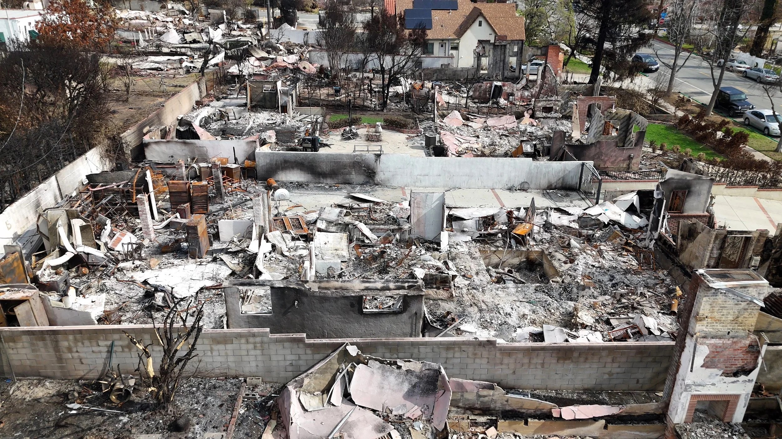
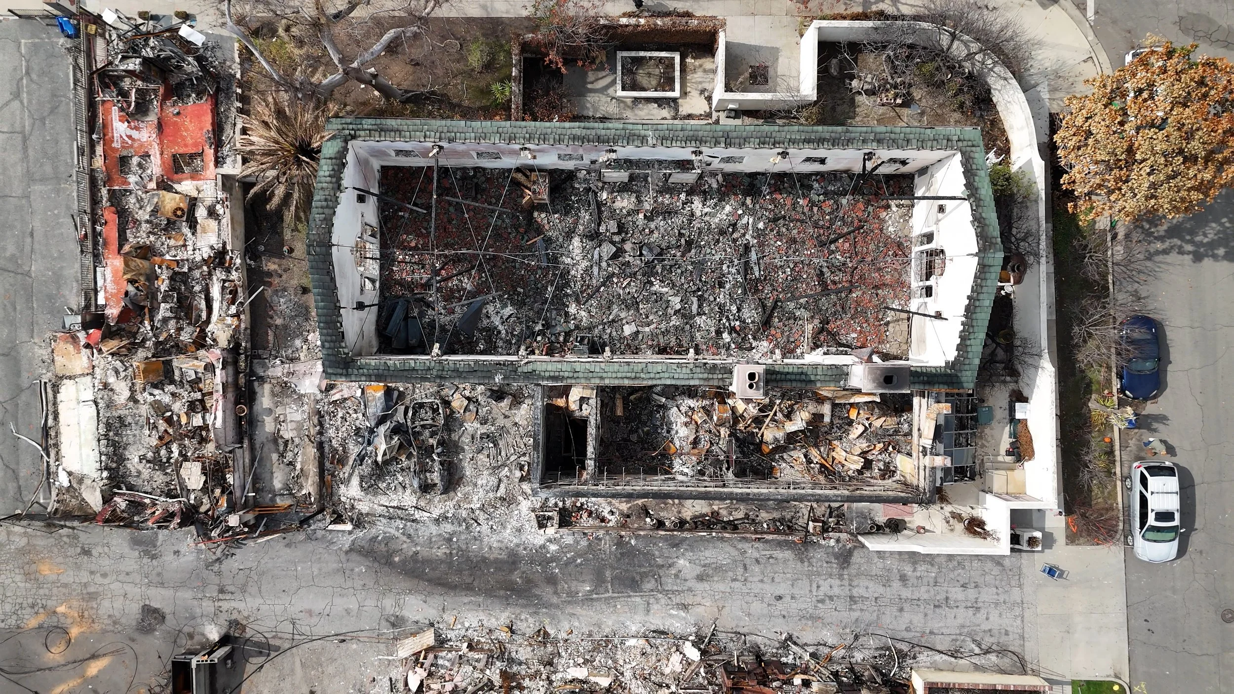
When a property, site or asset has been affected by an event, gaining a clear view of conditions can be an important first step.
Aerial and ground-based imaging can provide broad site context alongside detailed visual documentation of accessible conditions.
Applications may include:
Wildfire-related conditions
Storm damage
Flooding and water-related impacts
Roof and building exteriors
Infrastructure and property conditions
Construction-related damage
Before-and-after documentation
Large-area site conditions
Difficult-to-access locations
WCDO works with client teams to determine which perspectives and capture methods are appropriate for the site and documentation objective.
Establish A Baseline. Then Track What Changes.
Some of the most useful visual documentation happens before there is a problem.
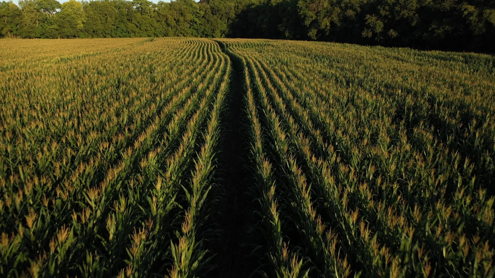
Establishing baseline imagery creates a record of existing conditions that can later be compared with future capture.
For longer-term projects, WCDO can establish repeatable aerial and ground-based viewpoints and return at scheduled intervals to help create a consistent visual history of the site.
Recurring programs may support:
Environmental restoration
Habitat projects
Construction impacts
Erosion and landscape change
Property and infrastructure conditions
Seasonal documentation
Before-and-after comparisons
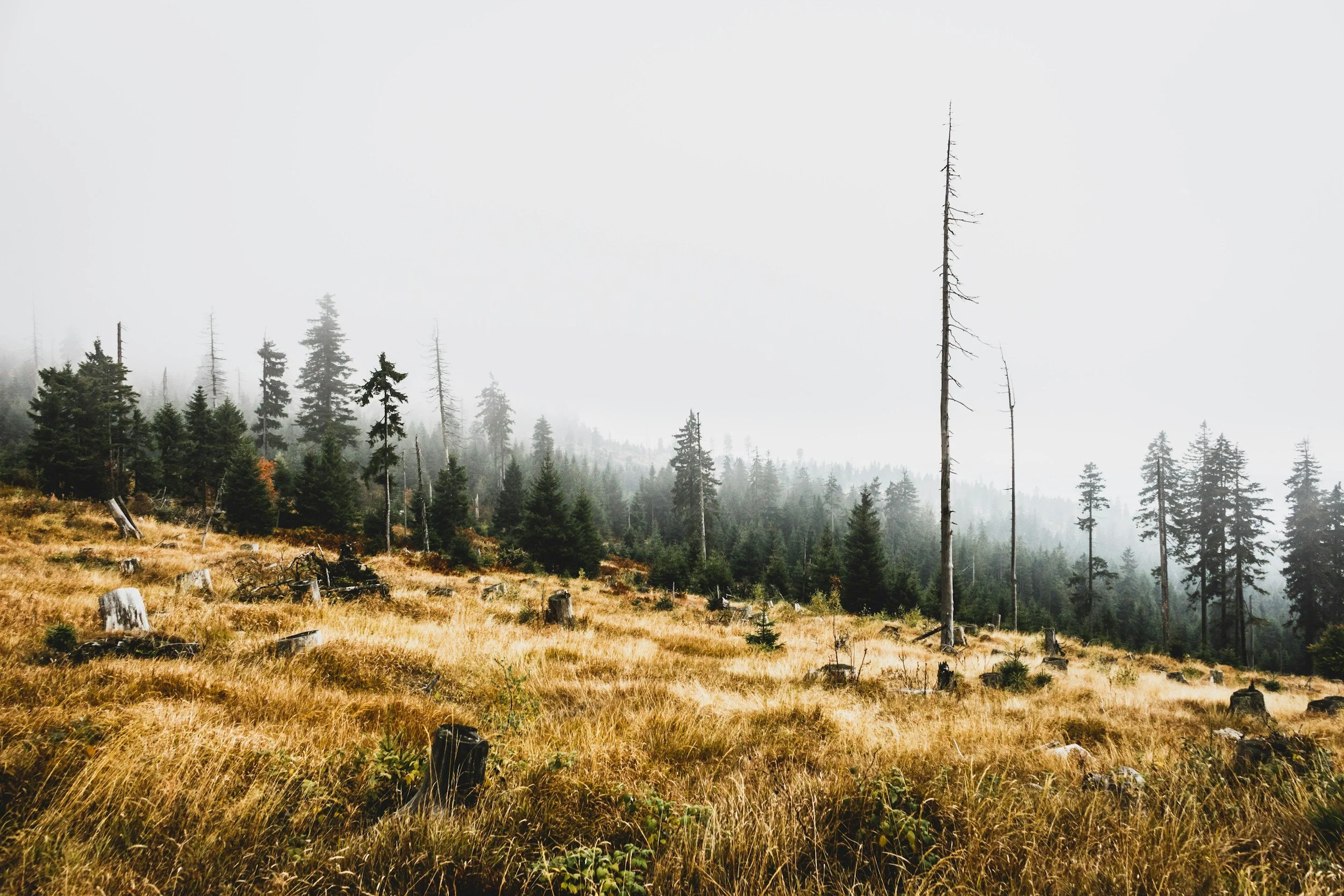
Aerial + Ground. A More Complete View.
Every site tells a different story. Combining aerial, remote and ground-based perspectives creates a more complete visual record, capturing both the broader context and the details that matter.
-
Drone imagery provides broader context across landscapes, structures and large sites while providing access to perspectives that can be difficult to achieve conventionally.
-
Remote imaging can provide additional visual access when environmental conditions, physical constraints or the location of an asset make conventional capture impractical.
-
Ground-based photography and video capture details, conditions and perspectives that complement the broader aerial view.
Used together, these approaches can create a more complete visual record than any single perspective alone.
Imaging Capabilities
Depending on project requirements, WCDO capabilities can include:
High-resolution aerial photography
4K aerial and ground-based video
Repeatable viewpoints
Geo-referenced imagery
Thermal imaging
Remote visual capture
Ground-based photography
Before-and-after documentation
Recurring visual monitoring
Organized project imagery
Custom capture programs
We work with client teams to determine the appropriate capture approach and deliverables before work begins.
Documentation That Helps Tell the Story
Environmental and recovery projects often need to be understood by people who aren't standing on the site.
WCDO's production experience allows technical and documentary imagery to serve a second purpose when needed, helping organizations communicate projects to stakeholders, communities, partners and the public.
Our Content + Production capabilities can supplement project documentation with interviews, ground-based cinematography, aerial footage and finished visual content.
Built Around the Site
Every environment and event presents different conditions.
Tell us what needs to be documented, where the project is located, what your team needs to see and whether you're establishing current conditions or tracking change over time.
We'll work with you to develop an appropriate visual capture approach.
From environmental monitoring to post-event documentation, WCDO provides aerial, remote and ground-based perspectives to help teams create a clearer visual record of what is happening, and how it changes.