
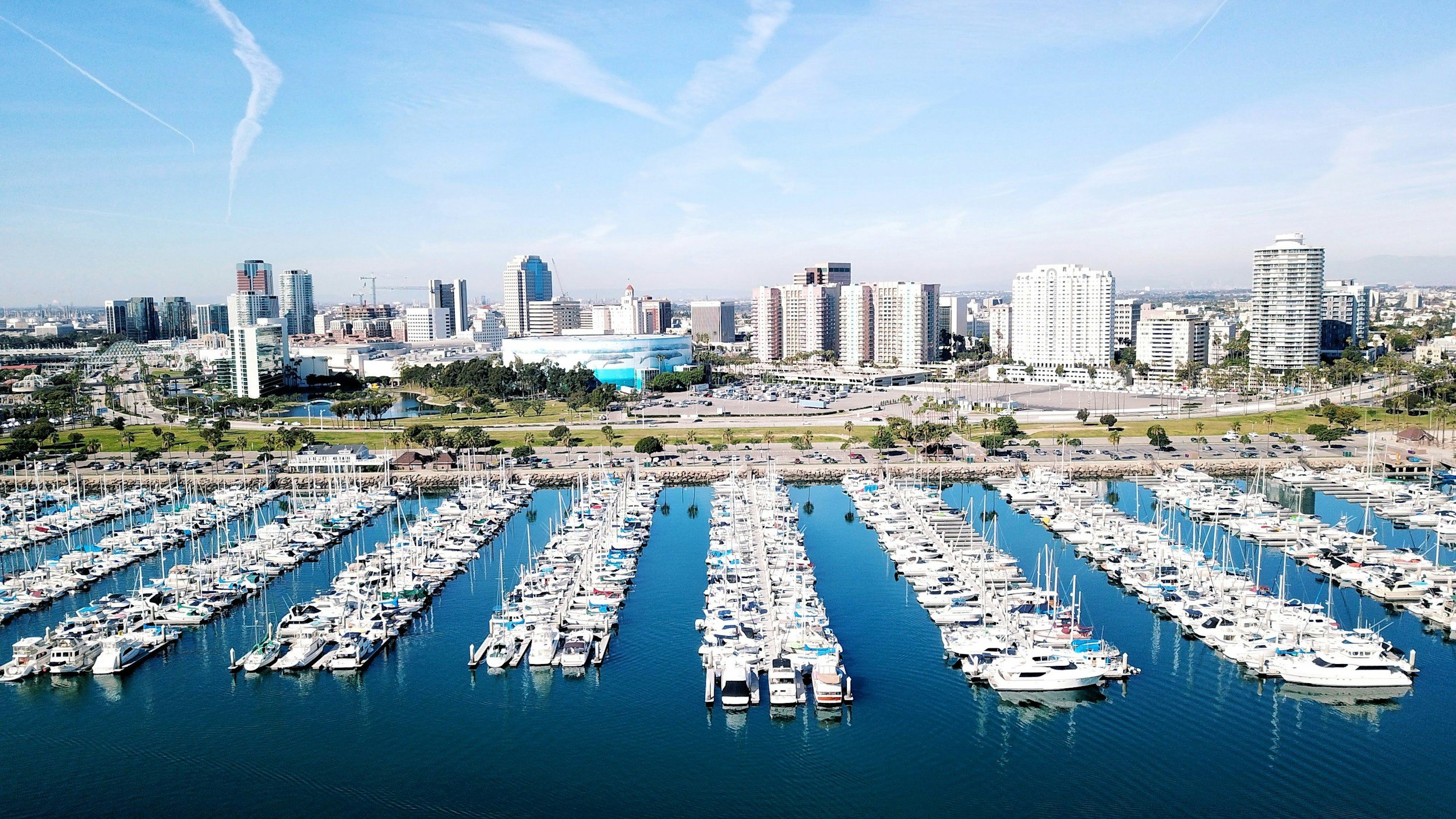
Precision Industrial Drone Services & Aerial Data in Long Beach
Localized Drone Inspections, Marine Asset Monitoring & Construction Photogrammetry built for Long Beach Infrastructure.
Trusted By








Core Capabilities in Los Angeles County
Infrastructure & Utilities Inspections: Rapid aerial inspection of industrial roofs, maritime structures, logistical hubs, and energy distribution lines. Non-destructive visual and thermal audits that keep field teams safely on the ground.
Construction Site Photogrammetry + Progress Tracking: Turn high-volume site flights into precise 2D orthomosaic maps and 3D digital surface models. Monitor earthwork progress, stockpile volumes, and subcontractor scheduling on coastal and port-adjacent developments.
Environmental & Damage Documentation: Coastal erosion monitoring, stormwater compliance surveys, and post-event structural damage assessments tailored to Long Beach’s unique marine environment.
Industrial & Maritime Storytelling: Highlight industrial scale, logistics capabilities, and civil engineering milestones with polished aerial video assets for stakeholders and municipal agency reporting.
Commercial Real Estate + Branded Content: High-end aerial visuals showcasing prime commercial developments, waterfront assets, and urban repositioning projects across Downtown Long Beach, Bixby Knolls, and East Long Beach.
Locally Grounded, Mission-Tested Aerial Intelligence
As a Long Beach-based aerial operator, West Coast Drone Operations delivers rapid-deployment drone solutions tailored to the city’s dense industrial corridors, maritime infrastructure, and expanding commercial real estate footprint.
We provide general contractors, port-adjacent logistics providers, civil engineers, and commercial developers with the high-resolution spatial data and visual clarity needed to manage risk, accelerate project schedules, and inform critical decisions.
Deep Expertise in Long Beach Airspace Protocols
Operating in Long Beach demands constant coordination with Long Beach Airport (LGB) airspace and nearby military/coastal flight corridors. We handle all airspace authorizations, coastal zone clearances, and TWIC-compliant port safety protocols internally, ensuring your mission stays fully compliant with zero operational downtime.
Request a Site Feasibility + Scope Estimate
Tell us about your project location, target timeline and deliverable needs. Whether you require technical inspection reports, broadcast-quality video production, or a combined dual deployment, our FAA-certified team will review airspace clearance and provide a tailored proposal.