
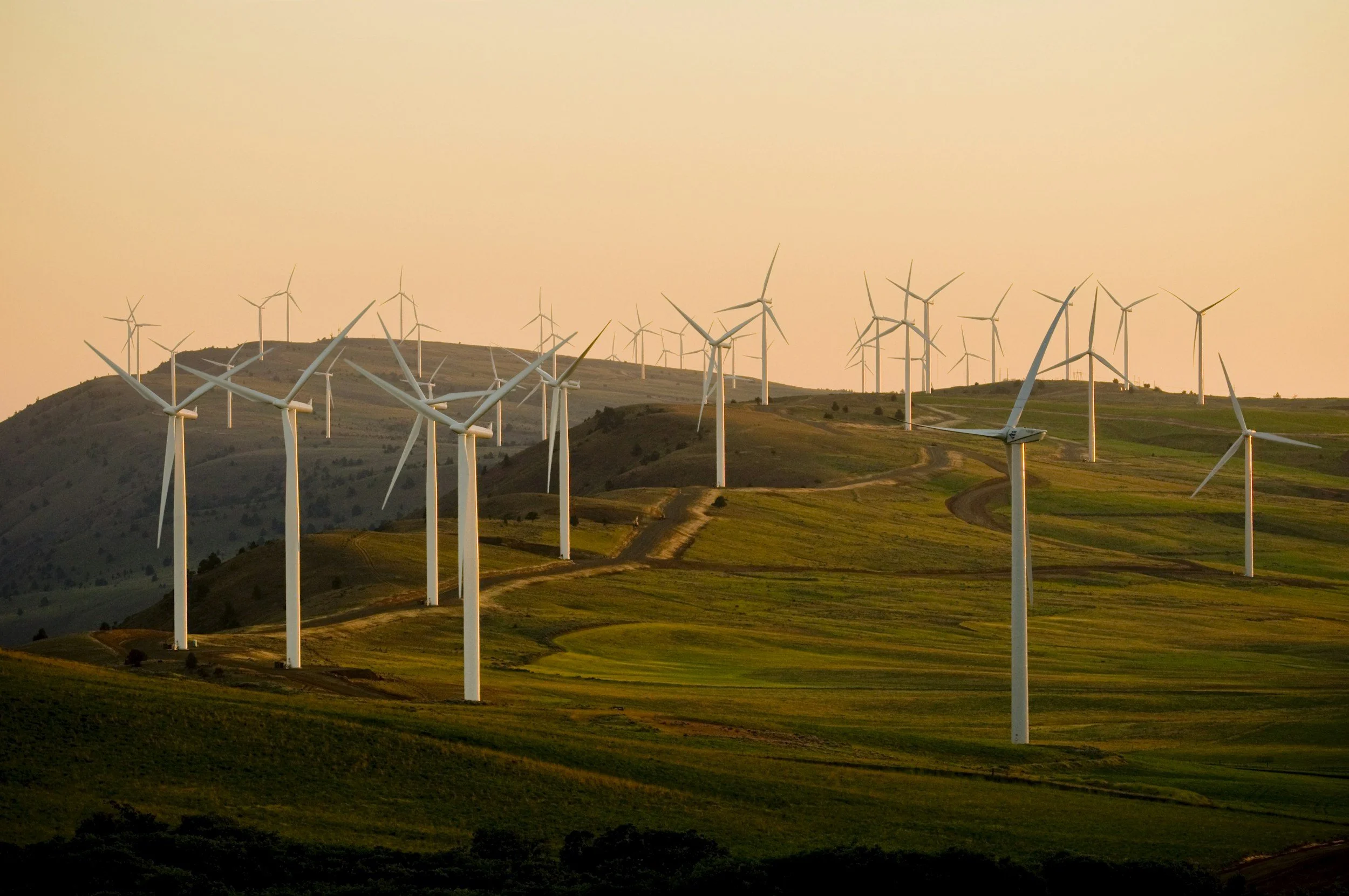
Infrastructure + Specialized Inspection Solutions
Better access. Clearer documentation. Smarter visual solutions.
West Coast Drone Operations provides aerial, remote and ground-based imaging solutions for infrastructure, utilities and industrial environments across California and beyond.
From routine asset documentation to difficult-to-access inspection challenges, we work with client teams to determine what needs to be seen and develop a practical approach for capturing it.
Visual Access for Complex Assets
Infrastructure doesn't always exist where it's easy, or desirable, for people to access.
WCDO uses drones, remote imaging systems and ground-based capture to help teams obtain detailed visual information while reducing unnecessary access to difficult locations.
Rather than approaching every project as a standard drone flight, we start with the objective:
What does your team need to see?
From there, we determine the appropriate capture method, perspectives and deliverables for the project.
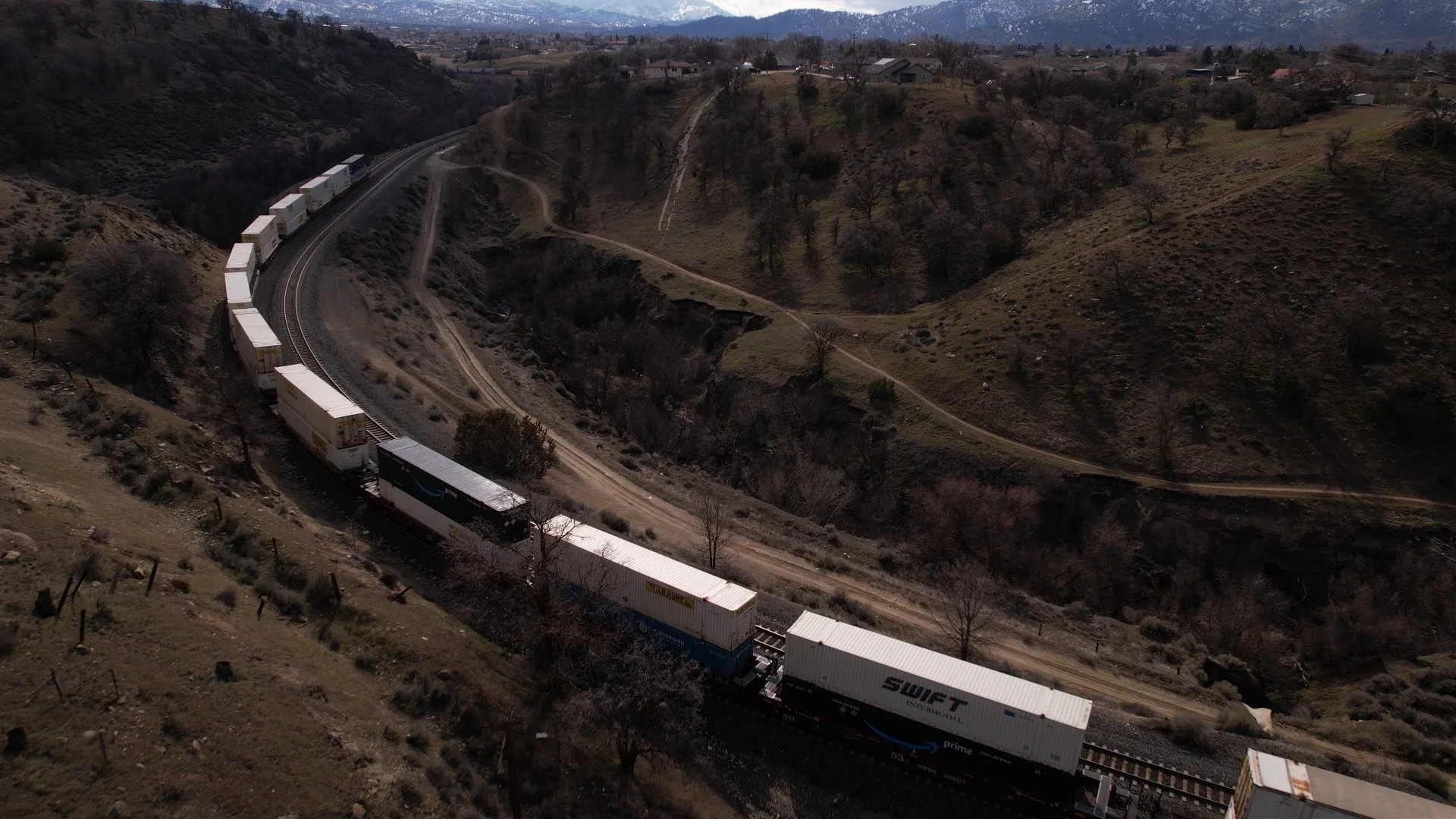
Infrastructure Inspection + Documentation
High-quality visual documentation can support teams responsible for maintaining, evaluating and communicating the condition of physical assets.
WCDO capabilities can support documentation of:
Utility infrastructure
Industrial facilities
Buildings and rooftops
Hard-to-access components
Linear infrastructure
Equipment and facility conditions
Construction and maintenance activity
Post-event conditions
Large or complex sites
Depending on project requirements, capture may be performed aerially, remotely, from the ground or through a combination of methods.
Utilities manage distributed assets, challenging environments and ongoing documentation requirements.
WCDO can provide visual capture supporting applications such as:
Electric utility infrastructure
Gas infrastructure
Water and wastewater facilities
Pipeline and related assets
Facility and equipment documentation
Maintenance and construction documentation
Thermal-imaging applications
Vegetation and surrounding-condition documentation
We work with client teams to understand existing workflows and build capture programs around the information they actually need.
Utility Applications
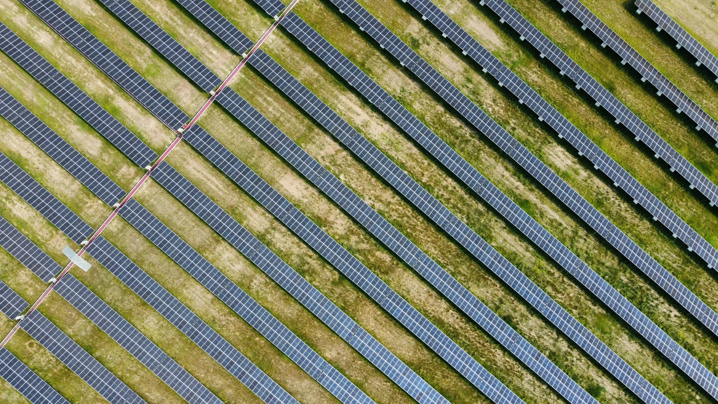
Solar + Renewable Energy
WCDO supports solar and renewable energy projects with aerial site documentation, mapping, visual inspection and recurring capture across large or difficult-to-access sites.
From construction through ongoing operations, we tailor capture programs to the needs of project and asset teams.
Specialized Remote Inspection
When the standard approach doesn't work, we look for another one.
Some of the most valuable projects begin with an unusual access problem.
An asset may be difficult to reach. Taking equipment offline may be disruptive. A conventional camera position may not provide the necessary perspective. Or the project may simply fall outside the workflows most imaging providers are accustomed to handling.
WCDO can evaluate aerial, remote and ground-based approaches to develop a visual capture solution around the challenge.
Have a difficult-to-access asset?
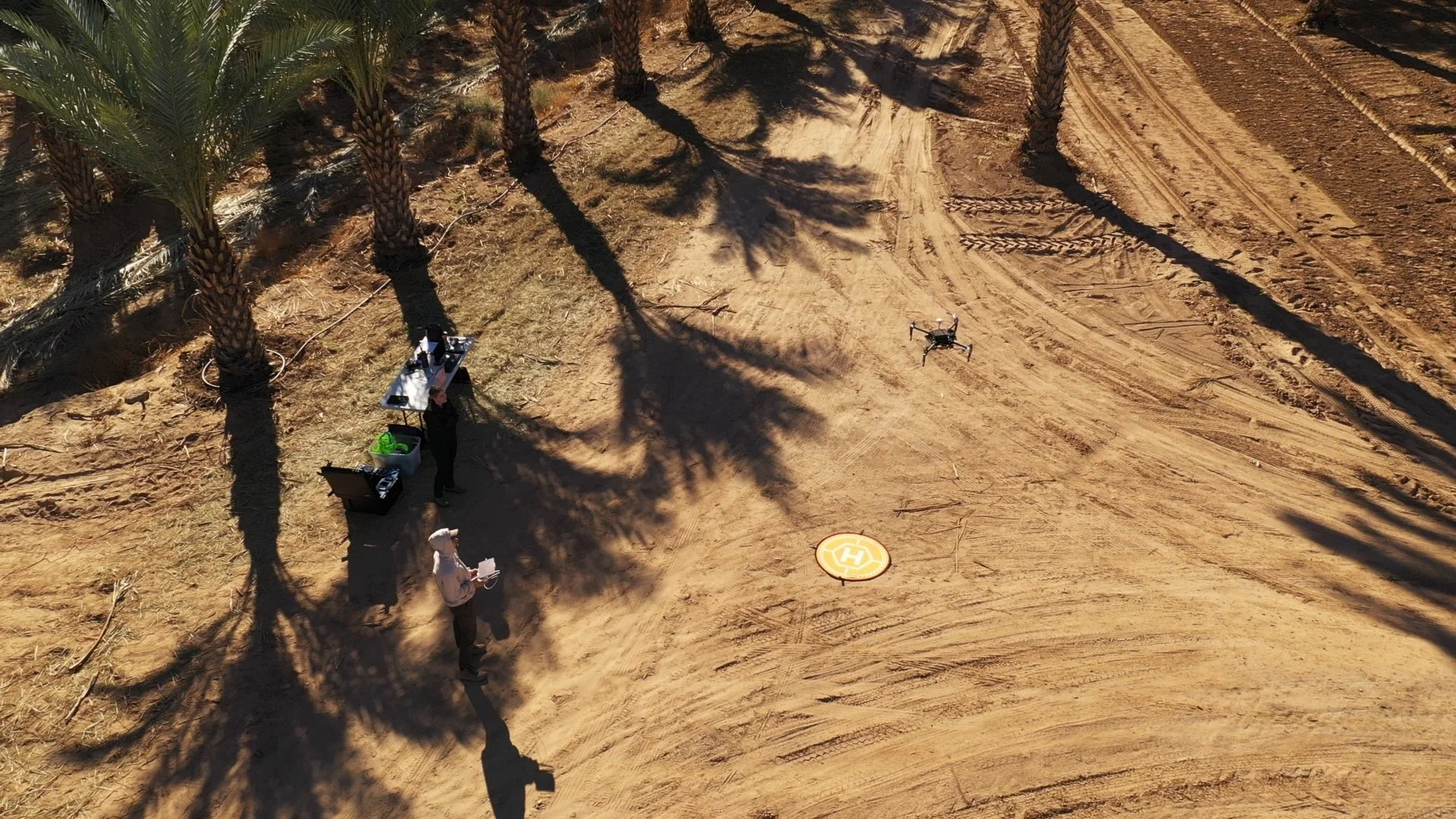
More Than Aerial
-
Drone-based capture can provide rapid visual access to elevated, expansive and difficult-to-reach areas while delivering high-resolution imagery from perspectives that would otherwise be challenging to obtain.
-
Remote camera and imaging approaches can provide visual access in environments where traditional observation or aerial capture may not be practical.
-
Ground-based imaging provides closer perspectives and complementary documentation when the project requires a more complete visual record.
Our goal isn't to put a drone on every project. It's to determine the most practical way to capture the visual information the project requires.
Drones are an extraordinarily useful inspection tool. They're not always the right tool.
Imaging Capabilities
Depending on project requirements, WCDO can provide or coordinate capabilities including:
High-resolution photography
4K video capture
Aerial imaging
Ground-based imaging
Remote visual capture
Thermal imaging
Repeatable viewpoints
Geo-referenced deliverables
Organized asset and condition documentation
Custom visual capture solutions
For specialized projects, we'll work with your team to define the required imagery and deliverables before capture begins.
Not every infrastructure need is a one-time inspection.
For assets, facilities and projects requiring ongoing visibility, WCDO can establish recurring capture programs designed to create a consistent visual record over time.
Programs can be structured around:
Routine documentation intervals
Maintenance schedules
Construction activity
Project milestones
Seasonal conditions
Before-and-after documentation
Multiple sites or assets
Consistent capture can make it easier to compare conditions and maintain an organized visual history across a project or asset portfolio.
Recurring Documentation
Visual Information That Works Beyond the Field
Infrastructure imagery often needs to serve more than one audience.
In addition to supporting field teams, professional aerial and ground-based imagery can be used for:
Internal reporting
Executive and stakeholder communications
Project updates
Planning discussions
Public-facing communications
Training and documentation
Because WCDO also provides professional content and video production, technical capture can be supplemented with polished visual storytelling when a project needs to be communicated beyond the immediate field team.
Bring Us the Difficult Problem
Every asset, site and operating environment is different.
We don't assume the solution before understanding the problem. Instead, we build solutions around the challenge.
Tell us what you're trying to inspect or document, where it is, what your team needs to see and how the resulting imagery will be used. We'll work with you to determine an appropriate capture approach.
From routine infrastructure documentation to specialized visual-access challenges, WCDO combines aerial capability, remote imaging and professional ground-based capture to help teams get the perspective they need.